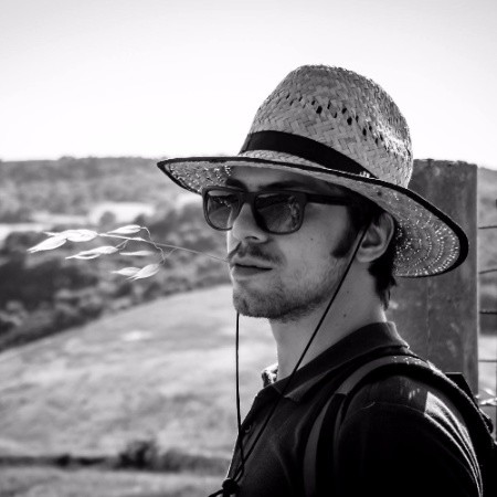
Hi, I'm Michele
Geologist & GeoSpatial Expert
💼 Full time Consultant Geologist (and GIS nerd)
🍀 Wannabe Cartographer in my free time (@LatidudeMaps, check out my social media)
📌 34 y.o., based in Potenza (Italy)
👷♂️ Licensed Geologist since 2018
💡 Interested in #Geology #Geomorfology #Landslides #GIS #WebMapping and more
What I [am supposed to] do


My Tools


🎓 Education
- Master Degree in Geosciences & Georesources (LM74) - University of Basilicata (Potenza, 2017)
- Professional Course in Hydrogeology (Potenza, 2020)
- Professional Course in "GIS Systems" (Potenza, 2016)
💼 Work Experience
- Consultant Geologist @ENI Viggiano (2018 - ongoing)
- Apprentice period (2018)
🔧 Technical Skills
- Software GIS: ArcGIS, QGIS, MapInfo
- Programming: Python, R, JavaScript
- Database: PostgreSQL/PostGIS, SQLite
- Remote Sensing: ENVI, ERDAS, Google Earth Engine
🌍 Fields of Interest
- Geological and hydrogeological risk assessment
- Digital geological mapping and cartography
- Landslide monitoring and analysis
- Environmental modeling and geospatial analysis
- Remote sensing applications in geology
- Web-based mapping solutions
🗳️ Certifications
- Licensed Professional Geologist (Italy, 2018)
- Professional Course in Hydrogeology (2020)
- GIS Systems Professional Certification (2016)
- ArcGIS Desktop Professional
- Python for Geospatial Analysis
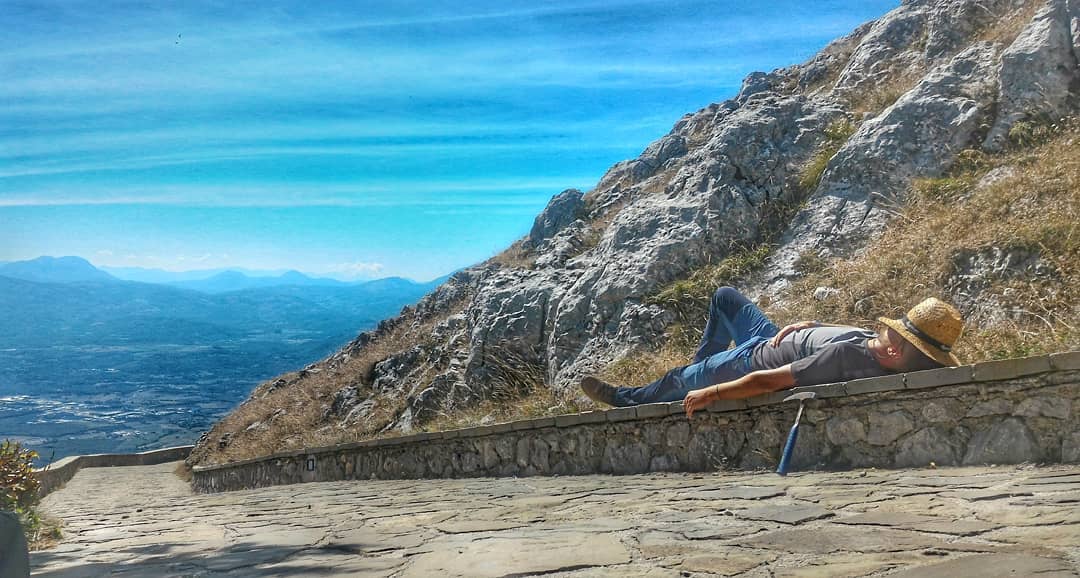
❤️ Passions
- Creating beautiful geological maps (@LatidudeMaps)
- Open source GIS development and QGIS
- Photography and landscape documentation
- Teaching geology through visual storytelling
- Exploring new web mapping technologies
- Mountain hiking and geological field trips